
ATENÇÃO: Esta página foi traduzida automaticamente pelo Google Translate. Isto pode ter consequências inesperadas no conteúdo apresentado e, portanto, não nos responsabilizamos pelo resultado dessa tradução automática.
ATTENTION: this page has been automatically translated by Google Translate. This can have unexpected consequences and, therefore, we do not take responsibility for the result of that automatic translation.
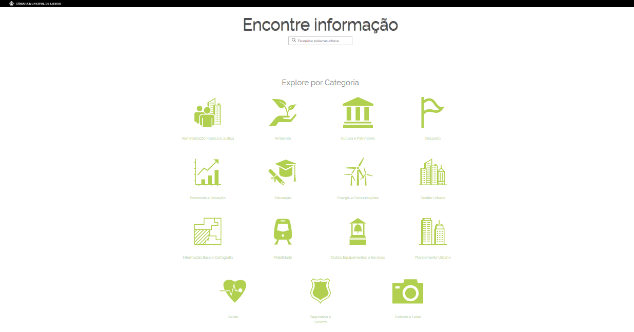
A Geodados é uma plataforma da Câmara Municipal de Lisboa que disponibiliza um conjunto de dados geográficos sobre a cidade (ex: Educação, Ambiente, Desporto, Saúde, Mobilidade, etc.), com o objetivo de potenciar a informação produzida pelo município. A informação é passível de alteração e atualizada bimestralmente.
A consulta dos dados pode ser feita de duas formas:
Pode ser alargado o raio de pesquisa diminuindo a escala do mapa.